SMART MAPPING
FOR A SMARTER WORLD
TalenXpo Geo-Mapping Solutions delivers cutting-edge geospatial services that empower smarter decisions across government projects, infrastructure, real estate, agriculture, and urban development.
WHAT WE OFFER
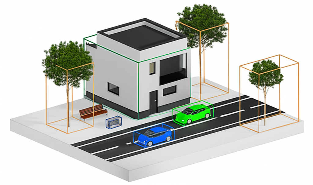
3D Mapping & Visualization
High-resolution 3D models of terrain, infrastructure, and buildings.
- Virtual walkthroughs
- Planning & simulation
- Real estate and architecture presentations
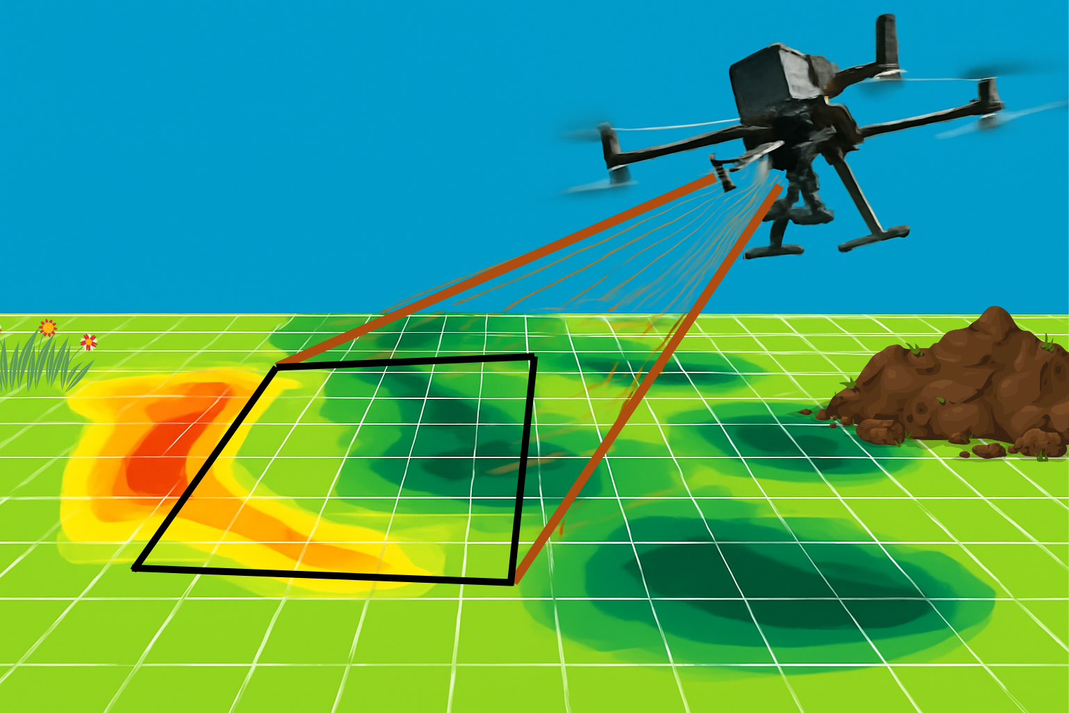
Drone-Based Surveys
Aerial data collection using drones.
- Covers large or hard-to-reach areas
- Rapid, cost-effective, and accurate
- Ideal for construction, agriculture, and environmental monitoring
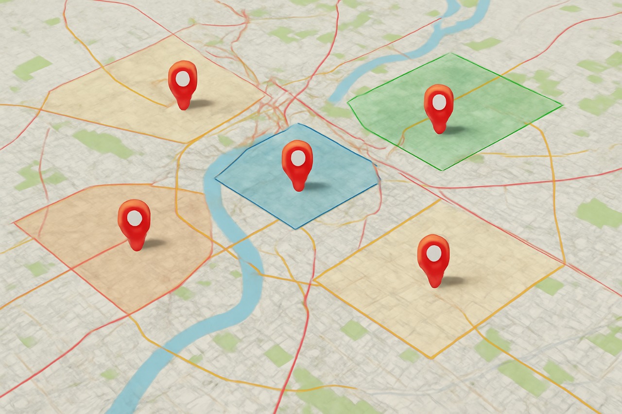
GIS Services
Integrate location-based data with interactive maps.
- Urban and rural development
- Environmental and disaster management
- Business intelligence & analysis
Headline, Annotation and Labeling
Total Station | Differential GPS (DGPS) | Drone Surveys | GIS Mapping
- AutoCAD / Civil 3D / ArcGIS for post-processing and annotation
- LIDAR & Satellite Imagery for enhanced ground detail
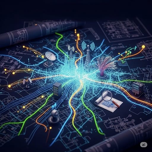
Telecom Planning & Design
TalenXpo GEO-Mapping Solutions excels in designing, planning, deploying, and maintaining complex enterprise data stream infrastructures tailored for modern telecom networks.
- Network architecture design
- Fiber optic planning
- Wireless network optimization
- Infrastructure deployment support
Electrical Network
We enable smart electricity networks by integrating Distributed Energy Resources (DER)—transforming traditional grids into intelligent, responsive systems.
- Grid modernization solutions
- DER integration planning
- Smart meter deployment support
- Energy efficiency mapping
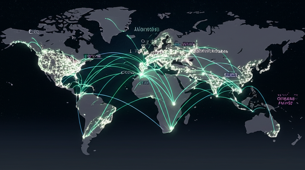
Network Services
Our experts design, implement, and manage secure, high-performance networks to ensure reliable, anytime-anywhere access for users.
- LAN/WAN design and implementation
- Network security audits
- Cloud network integration
- Network performance optimization
Mapping & Navigation
We offer property line surveys, validation, topographical surveys, and precision engineering—crucial for land development and infrastructure planning.
- Property boundary surveys
- Topographical mapping
- Precision engineering surveys
- Land development planning support
3D Mapping & Visualization

High-resolution 3D models of terrain, infrastructure, and buildings.
- Virtual walkthroughs
- Planning & simulation
- Real estate and architecture presentations
Drone-Based Surveys
Aerial data collection using drones.
- Covers large or hard-to-reach areas
- Rapid, cost-effective, and accurate
- Ideal for construction, agriculture, and environmental monitoring
GIS Services
Integrate location-based data with interactive maps.
- Urban and rural development
- Environmental and disaster management
- Business intelligence & analysis
Headline, Annotation and Labeling
Total Station | Differential GPS (DGPS) | Drone Surveys | GIS Mapping
- AutoCAD / Civil 3D / ArcGIS for post-processing and annotation
- LIDAR & Satellite Imagery for enhanced ground detail
Telecom Planning & Design
TalenXpo GEO-Mapping Solutions excels in designing, planning, deploying, and maintaining complex enterprise data stream infrastructures tailored for modern telecom networks.
- Network architecture design
- Fiber optic planning
- Wireless network optimization
- Infrastructure deployment support
Electrical Network

We enable smart electricity networks by integrating Distributed Energy Resources (DER)—transforming traditional grids into intelligent, responsive systems.
- Grid modernization solutions
- DER integration planning
- Smart meter deployment support
- Energy efficiency mapping
Network Services

Our experts design, implement, and manage secure, high-performance networks to ensure reliable, anytime-anywhere access for users.
- LAN/WAN design and implementation
- Network security audits
- Cloud network integration
- Network performance optimization
Mapping & Navigation

We offer property line surveys, validation, topographical surveys, and precision engineering—crucial for land development and infrastructure planning.
- Property boundary surveys
- Topographical mapping
- Precision engineering surveys
- Land development planning support
HOW IT WORKS
Consultation
Understand your mapping or surveying goals.
Data Collection
Conduct drone or field surveys as per geographic need.
Processing
Use GIS & 3D modeling software to analyze and build outputs.
Delivery
Provide custom reports, maps, 3D models, and digital dashboards.
NEED A VIRTUAL SITE SURVEY?
Let our drones and geospatial experts deliver the full picture — from above, and beyond.